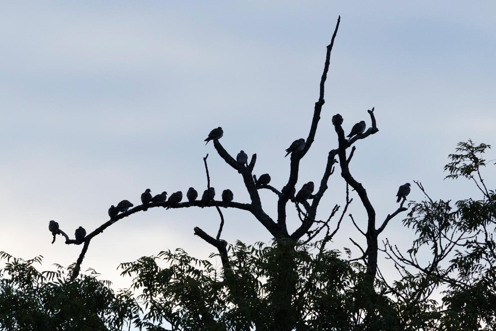
Turtle doves roosting at dusk, Cannwood, Somerset
Bespoke data solutions for nature recovery
One living record of your land
Camera traps, acoustic recorders, GPS tags, surveys in the field: a rewilding project generates data every day. Canopy builds the software that brings it together as it arrives, so you can see what's changing on your land and act on it.
What we do
From a shoebox of SD cards to a live platform your whole team logs into. We take on the whole journey, or any one part of it.
All your data in one place
We consolidate survey spreadsheets, consultant reports and historic records into one shared platform, so every sighting, survey and device is at your whole team's fingertips.
Bespoke applications
Software shaped around how you actually work: volunteer survey entry, camera-trap review, tracking dashboards. Built quickly, then refined in the field alongside you.
Device pipelines & AI
Camera traps, acoustic recorders and GPS tags feeding your record automatically. AI species identification you review, rather than data entry you dread.
Analysis & reporting
Seasonal trends, species discovery curves and the evidence funders, partners and regulators ask for. Generated from live data, not compiled by hand each year.
Turtle doves at Cannwood
In the field
We don't just advise. We build, deploy and run. The Canopy platform began as a bespoke build for one rewilding estate and is now in daily use at two.
Case study
Heal Rewilding
Heal Somerset, a rewilding charity
Heal runs on volunteers, so their Canopy is shaped around them. Survey groups for butterflies and dragonflies plan their season, recorders enter counts from a phone in the field, and every walk feeds the same living record the staff team works from. It's the same platform as Cannwood underneath, with a different application on top. That's what bespoke means.
Case study
Cannwood
A 400-acre rewilding estate in Somerset
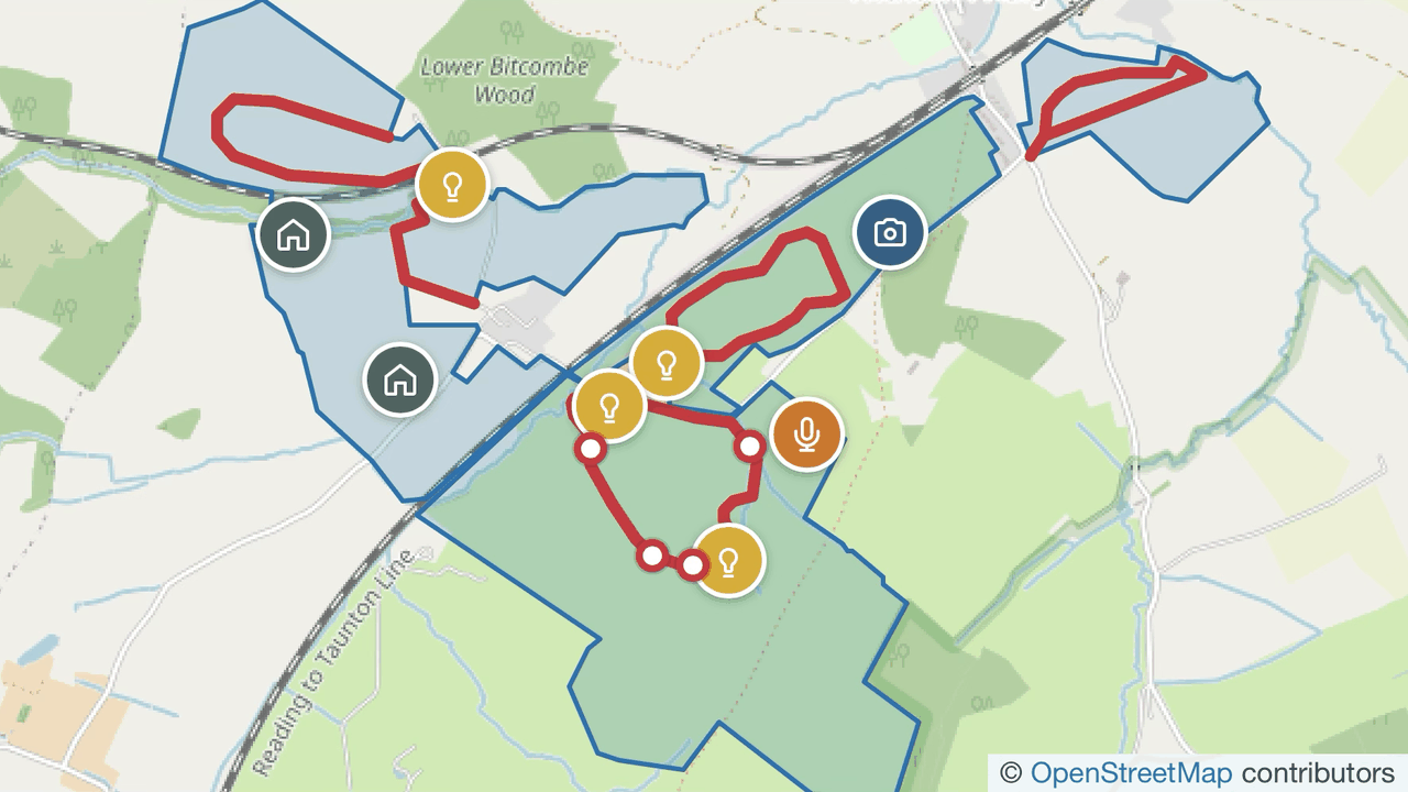
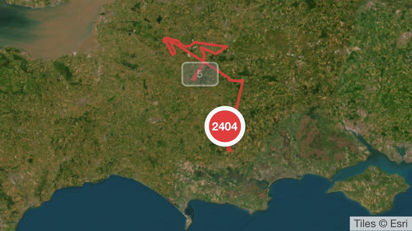
Cannwood is where Canopy began: one estate's camera traps, bird surveys and historic records pulled into a single living map. Today the platform runs the estate's day-to-day ecological record. Satellite-tagged turtle doves are followed through the season, camera-trap cards are identified by AI and reviewed by eye, and decades of aerial imagery show the land changing on one timeline.
Your project could be next. Tell us about it →
Tell us about your data
A 30-minute conversation about what you're collecting, what's stuck in spreadsheets, and what it could become. No pitch deck, just a clear picture of what we'd build and why.
or email info@canopydata.app